Can drones be used to monitor a tiny plant?
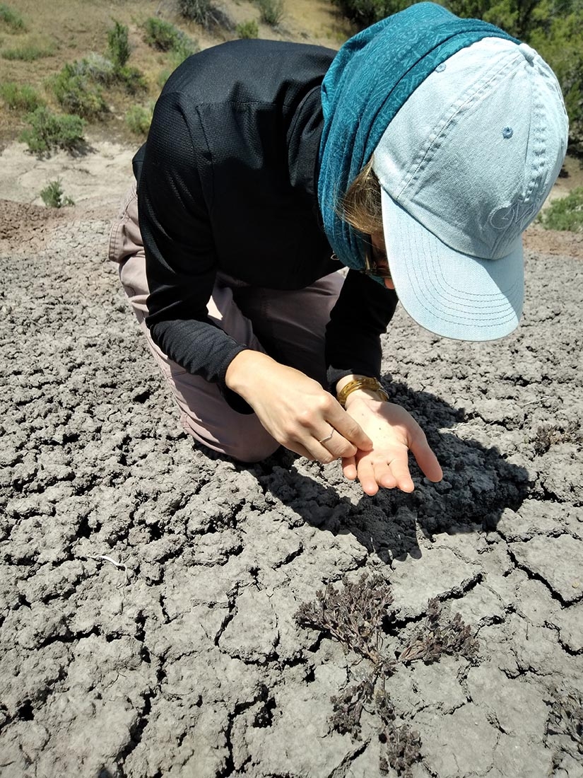
A demographic study of a plant population is usually a low-tech job. We drive and hike to a rare plant population. To measure the survival, growth and reproductive rates of the population, we delineate sampling plots with stakes and measuring tape, mark and map each plant within each sampling plot with a nail and numbered tag and record individual measurements with paper and pencil. This study design allows us to track the fate of perennial species. However, this design is not well suited to annual species. A large portion of an annual species’ life cycle is spent as seed in the soil, and that seed can’t be individually tracked. It is more important to track populations within the species range rather than individuals in a population.
Annual species germinate, flower and die all in the same year, as opposed to multi-year perennials. Annuals can be hard to monitor because they often only germinate and flower in years with favorable environmental conditions and so you can’t find them every year. This is the case for Phacelia submutica, an annual species found in small patches in Western Colorado. These populations persist in a specific type of undisturbed soil. Annual low-tech monitoring would cause a great deal of disturbance and harm to these soils due to the frequent trampling of the site during sampling. Intensive sampling at each site would limit the number of populations we can monitor. Drones provide a promising remote solution to annually monitor many population patches without harming the soils. However, using drones for plant demographic monitoring poses a few technical problems.
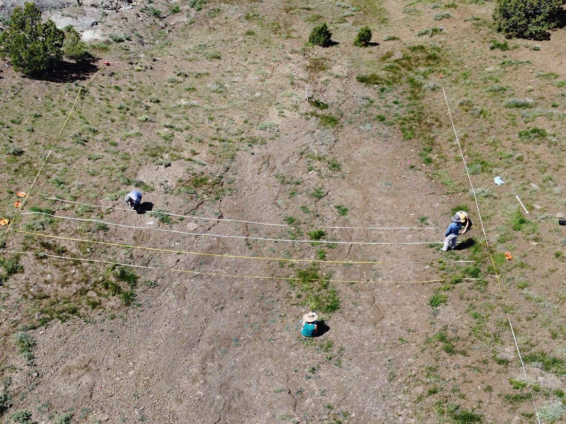
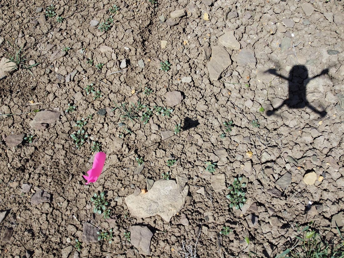
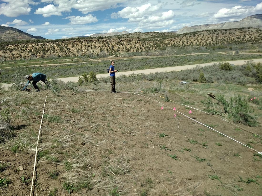
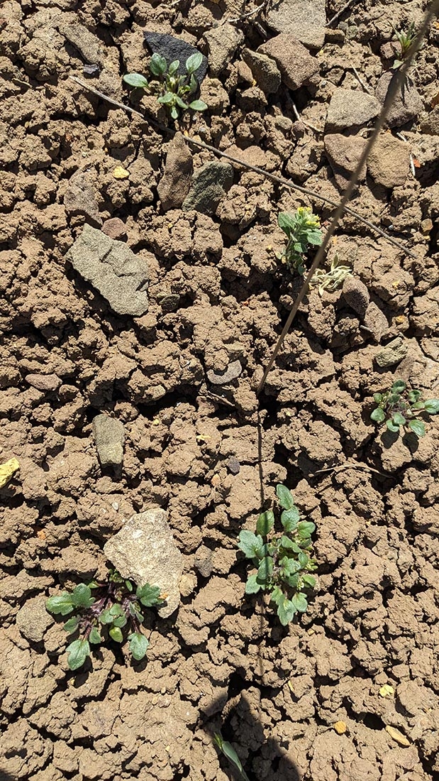
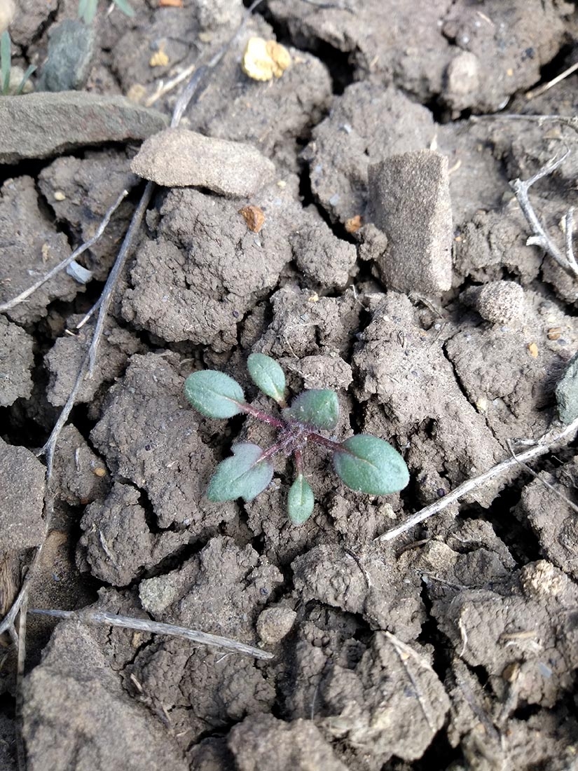
In the spring of 2023, we tested the use of drones to detect the tiny plants. The first problem to address was flying low enough to identify the leaves of P. submutica compared to the many other tiny green plants that germinate in a good year. The solution involves timing drone flights when P. submutica is at its peak before it dries and turns the color of the soil. The next problem is stitching images together. The benefit of drone imaging is creating a composite image of a large area that can be georeferenced. Distances can be calculated in a georeferenced image to measure plant population density. However, when flying low enough to see the plants, stitching images becomes much more challenging. The solution may be to use measuring tapes as a visual cue in each image to map the distance and location of each image. We can then use individual images as a sample plot without having to stand and cause a disturbance at each image location.
Through our pilot study, we learned about the limitations and possibilities of using drones to monitor a rare annual species. We will adjust our plans based on what we learned to propose a suitable method to monitor P. submutica and to make recommendations for long-term monitoring of other species that would benefit from drone imaging.
Gallery
Add new comment